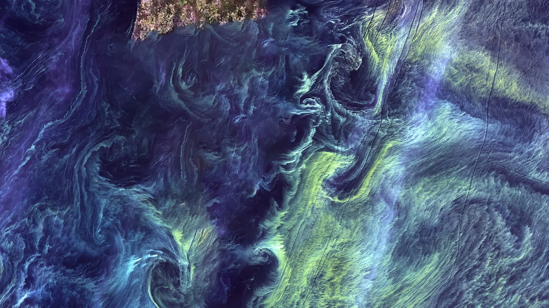
A Geospatial Lens: Building Worlds
The Earth has a story, and telling that story is our privilege.
Let’s go back in time, about 36,000 years ago…
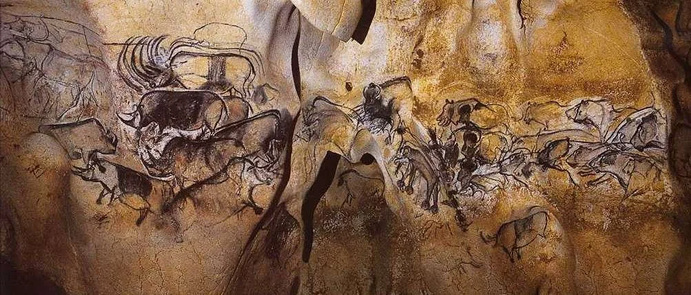
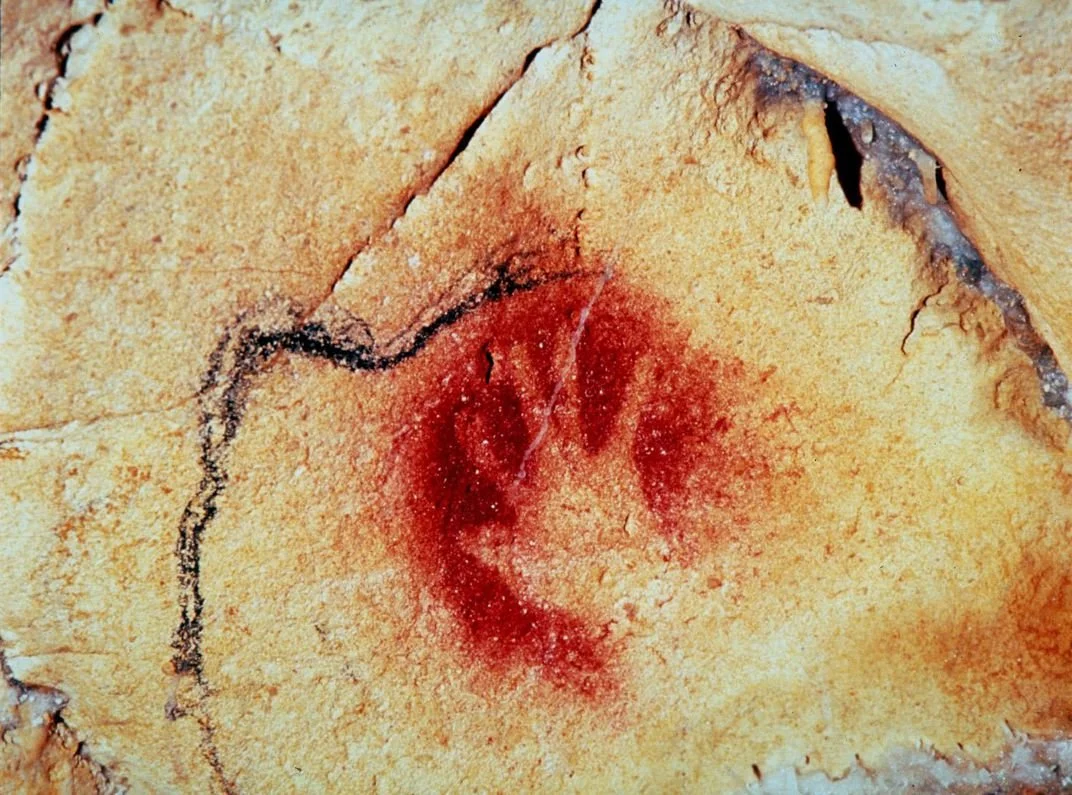
Particularly to a limestone plateau along the meandering Ardèche River in southern France. This location is home to the Grotte Chauvet-Pont d’Arc, or Chauvet Cave, which preserves one of the earliest known collections of cave drawings, depicting dynamic images of bison, mammoths, and handprints. Traced in charcoal and stamped in red ochre, our Paleolithic ancestors communicated through visual storytelling, leaving an indelible mark on our creative history.
This is one of the earliest example of spatial storytelling: as human cognition evolved, so did our art.
These panels, hand-painted on cave walls, showed a spark of creativity in our human timeline: a need to communicate, a desire to imagine, and an instinct to place our mark on the environment around us.
Similarly, today, artists continue this spark of imagination through immersive storytelling and world-building, found in some of the most inspired storytelling forms of our time: books that visually wrap you in a story, animation that encapsulates you, films that take you to another time and place, and games that immerse you in new realities.
For geographic storytellers, our cave wall is a map.
Great maps absorb you into a story. They allow you to move through a spatial world that is thought-provoking, malleable, and dioramic. When looking through the maps below, pay attention to the small details. You will begin to notice the key features that make maps speak. Note to viewer: Geospatial worlds are rooted in reality and grounded in science. They bring together (1) quality geodata, (2) illustrative symbology, and (3) beautiful narration to create an experience. The magnificent maps leave an indelible mark.
Look for signs of this.
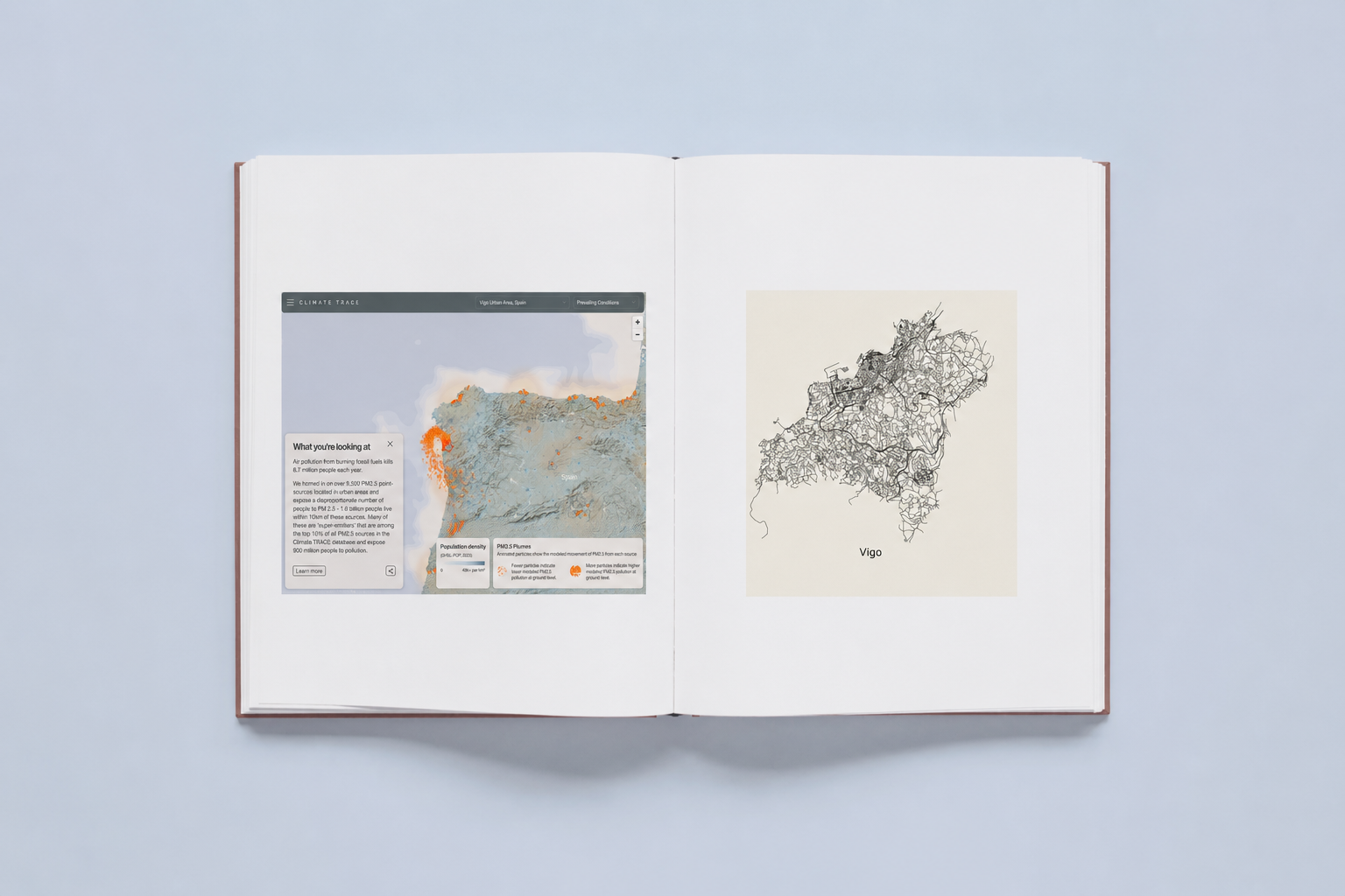
Pollution Plumes in Vigo, Spain
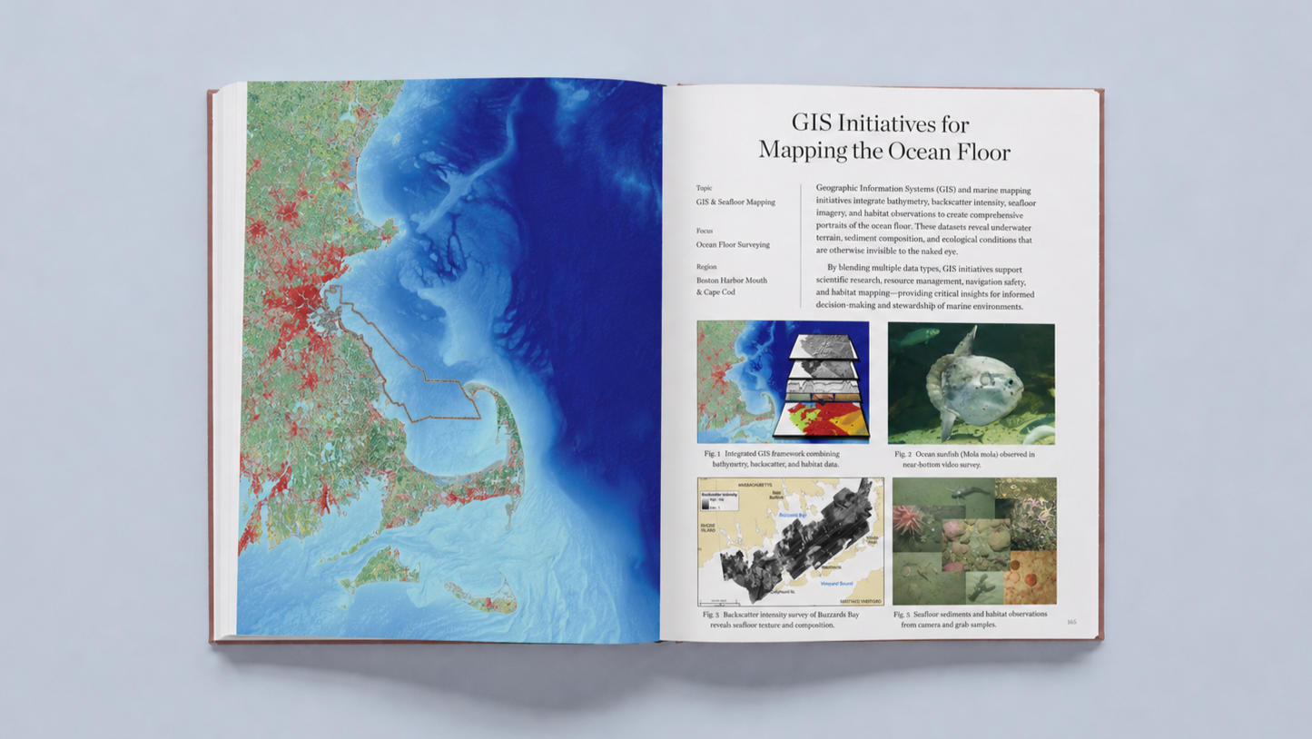
Geologic Mapping of the Massachusetts Seafloor
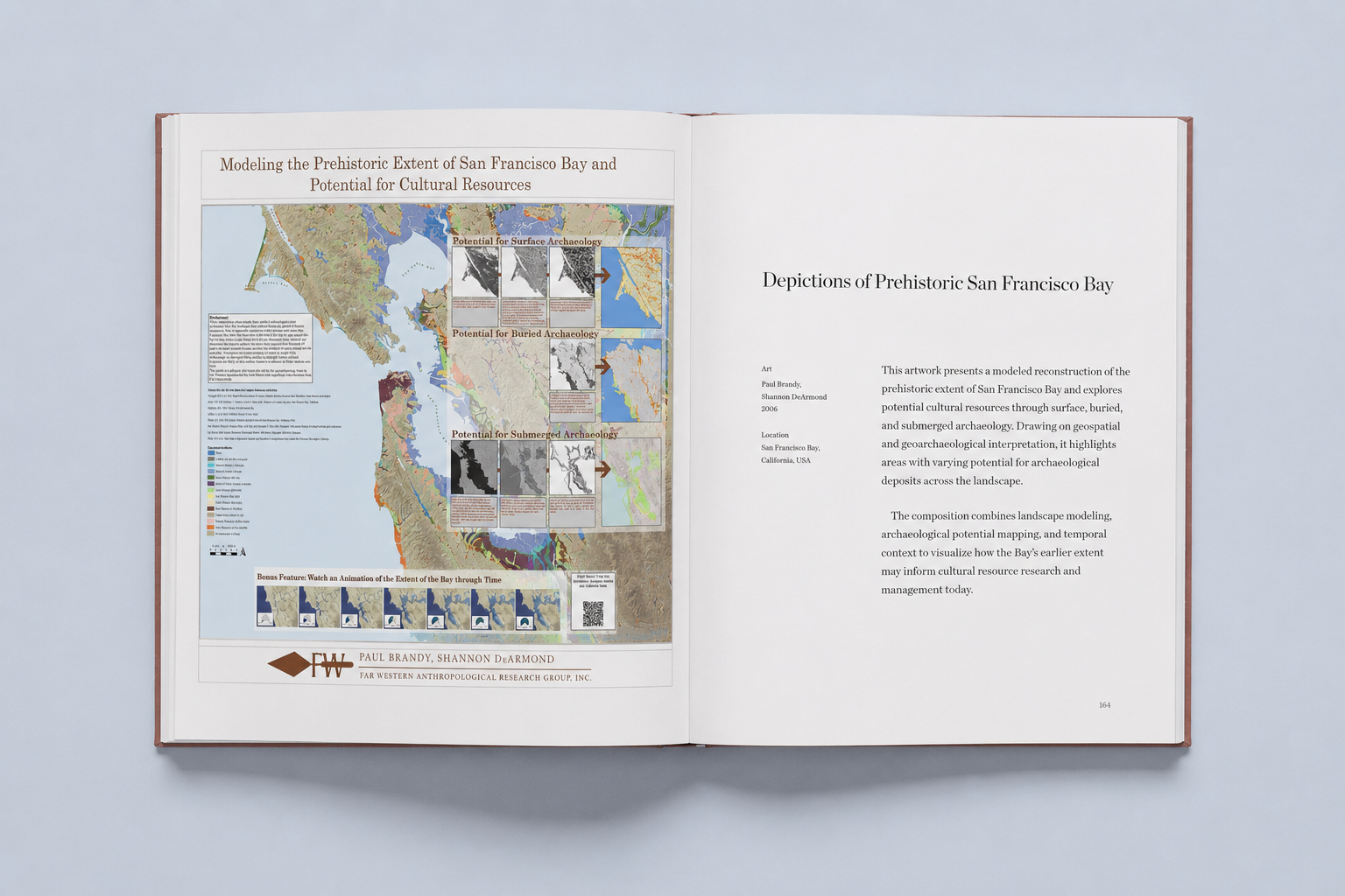
Geoarchaeology in the San Francisco Bay Area